Space Knowledge for the Finnish Geographers
The 43rd annual meeting of Finnish Geographers was held at the University of Vaasa on 24th and 25th of October 2019. During these days, the geographers discussed among other things about the development of cities, sustainable development and reliance between countryside and cities.
On the opening day of the meeting, Thursday the 24th, Project Researcher Rathan Kumar Alagirisamy gave the geographers a presentation about open space-based data sources and opportunities of new space for land monitoring.
Alagirisamy’s lecture pointed out how a person or an organization can get open space data from already existing sources available for anybody, and a few applications and services that can be developed.
Space-based open data can be used for several purposes, for example, in agriculture by monitoring the crop growing or forecasting the floods. After a storm, it is also effective and economical to search for damaged power lines or traffic communications in sparsely accommodated areas from above than driving around the wilderness.
The geographers also heard what the differences between the “new space” and the “old space” are. New Space is in contrast to “old space” that is orders of magnitude less costly because of advances in micro-electronic and communication technologies and standardization procedures and is the reason why it attracts so many companies and organizations nowadays. More and more questions can be solved with the space-based data.
“For example, space-based data and services contribute significantly to the 13 of UN’s 17 sustainable development goals (SDG) according to the European Space Agency”, says Alagirisamy.
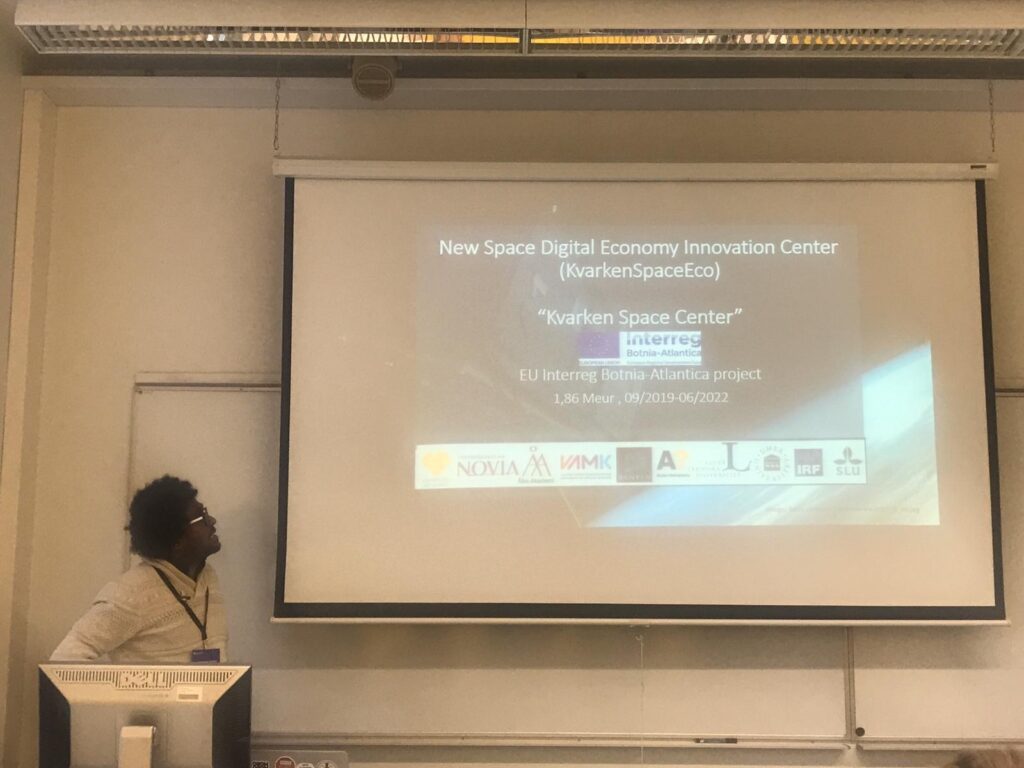
He also described to the audience about the KvarkensSpaceEco project and how it will benefit companies and people in the Kvarken region by providing them space-based data and demonstrating how to use it through workshops and hackathons.